Safeguarding North Carolina’s Dams Through H&H Evaluations
/
Our nation’s dams are aging and deteriorating, while upstream and downstream populations are increasing. This not only affects our infrastructure, but the valuable benefits that dams provide, including flood protection, water supply, hydropower, irrigation and recreation. Storm events and dam breaches not only cause concern, but sometimes raise false alarms about dam failures and cause widespread panic.
According to data submitted to the National Inventory of Dams and obtained by The Associated Press in 2019, North Carolina has 1,445 dams rated high-hazard, out of about 5,700 dams total. That hazard classification indicates any failure that would likely cause the loss of one or more human lives. Recently, devastating flooding in North Carolina in the aftermath of Hurricane Florence again raised issues about whether dams across the state are able to hold up under the strain.
In response, the state increased its dam safety program budget by two-thirds and reached out to area engineering firms like Alpha & Omega Group (A&O) to help predict the potential impact on high hazard dams before storms occur. As part of North Carolina’s recovery and resiliency efforts, the Department of Environmental Quality (DEQ) Division of Energy, Mineral and Land Resources (DEMLR) issued a call for firms to participate in the Neuse River Basin Flood Study.
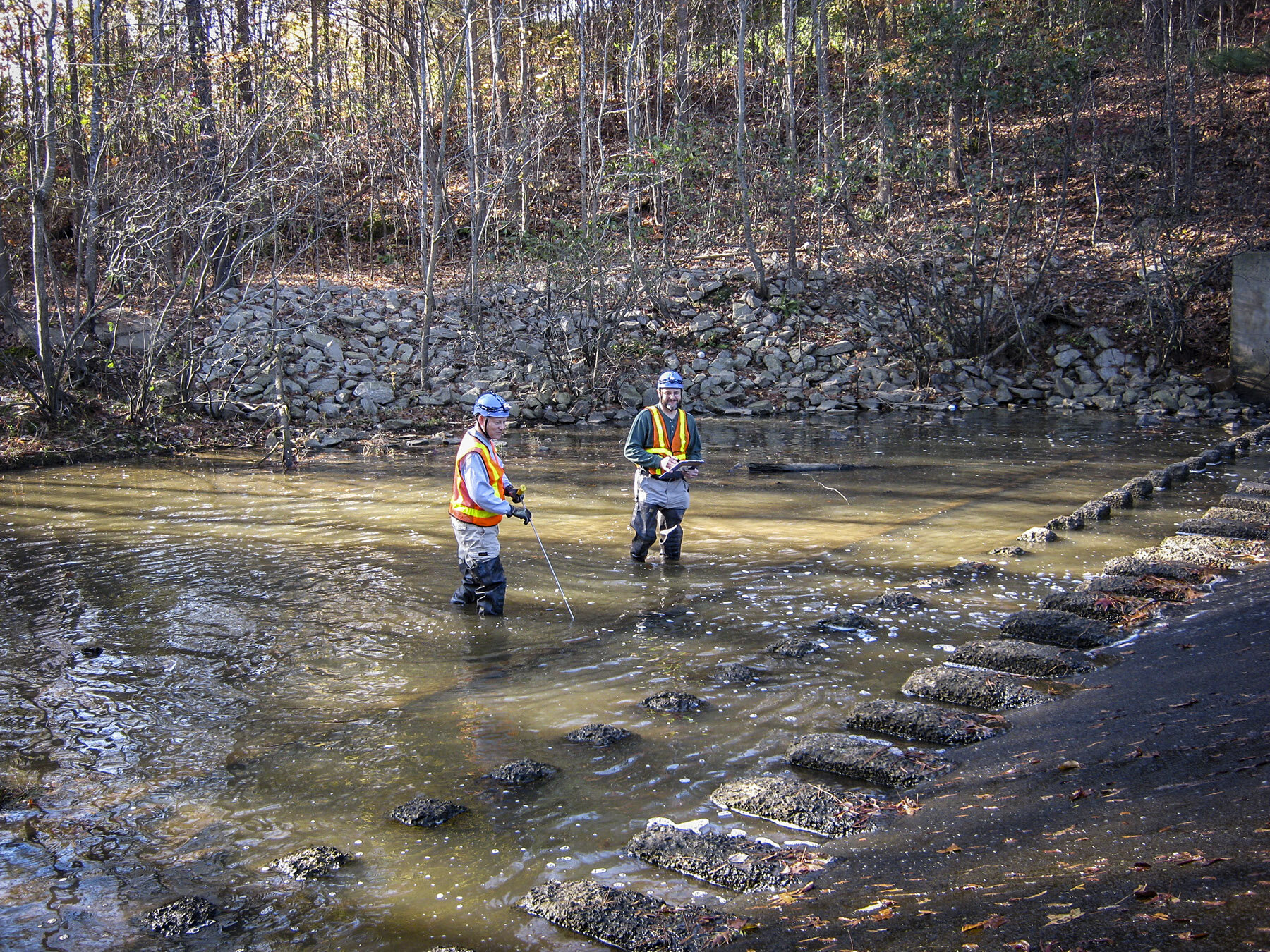
A&O staffers Rhonda Brewington, PE, and Chris Stone gathered critical dam measurements for Springfield Estates Lower DaM in Raleigh, NC to determine what storm events can cause over topping.
A&O was selected to deliver hydrologic and hydraulic (H&H) computer modeling reports and results for 40 dams in the study. Our task was to gather data and develop the hydraulic capacity from these high hazard dam impoundments for use by Emergency Operations Center, Division of Energy Mineral and Land Resources, US Army Corps of Engineers, and local emergency management services.
“Our goal was to look at these dams to determine what storm events can cause overtopping,“ said Rhonda Brewington, PE, A&O’s hydrologic and hydraulic designer. “This allows state agencies to be proactive leading up to a storm event, so dam owners can draw down impoundments to prepare for it and the public can be notified in extreme events. If we know that a certain amount of rain will overtop a dam during, say, every 100-year storm event, we can not only improve the impoundment, but also prepare nearby residents for potential flooding.”
As part of the project, A&O’s team collected data, created models, and sent the information back to the state’s department of Dam Safety using specific software reporting tools. The process started with gathering watershed data from Streamstats. We used Geographic Information System Mapping (GIS) to determine the stage-storage volume of each impoundment. The team used Excel worksheets provided by Dam Safety to calculate curve numbers and lag times, taking into account how soil and land use affect runoff infiltration.
Finally, we determined the stage-discharge volume between the primary spillway and the emergency spillways with regard to the top of the dam for each impoundment. The team then used the data to model scenarios for 25-year, 50-year, 100-year, 200-year, 500-year, and 1,000-year storm events to predict whether overtopping will occur. To ensure the accuracy of data, the team performed multiple quality checks in-house before submitting information to Dam Safety.
The models used rainfall data provided by the National Oceanic and Atmospheric Administration (NOAA) that is based on past storm experience and long-term data researched by federal authorities. By being part of this study, A&O hopes to provide valuable forecasting data to mitigate losses from future storms and save lives.
“We are proud to work alongside North Carolina agencies who are not only concerned about property losses and reservoir storage, but the impact that future storms may have on residents’ welfare and quality of their day-to-day lives,” concluded Brewington.


